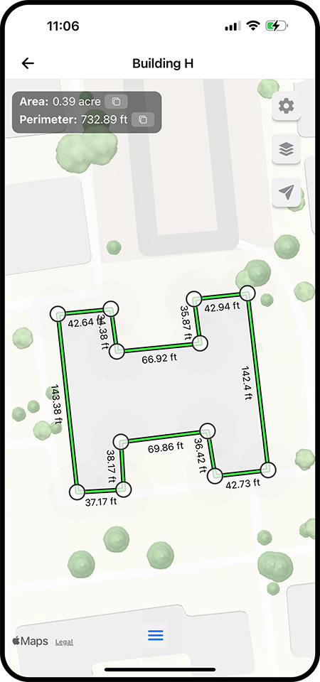
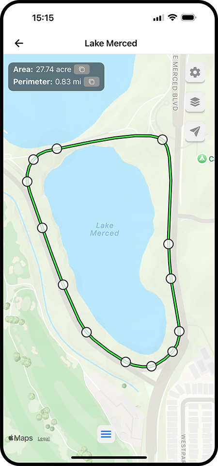
Draw shapes or routes by placing markers on the map
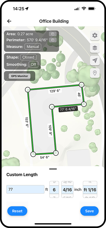
Enter precise distances from a tape or laser tool for greater accuracy.
Trace curved boundaries or features with smoothing, spline interpolation, and hull fitting.
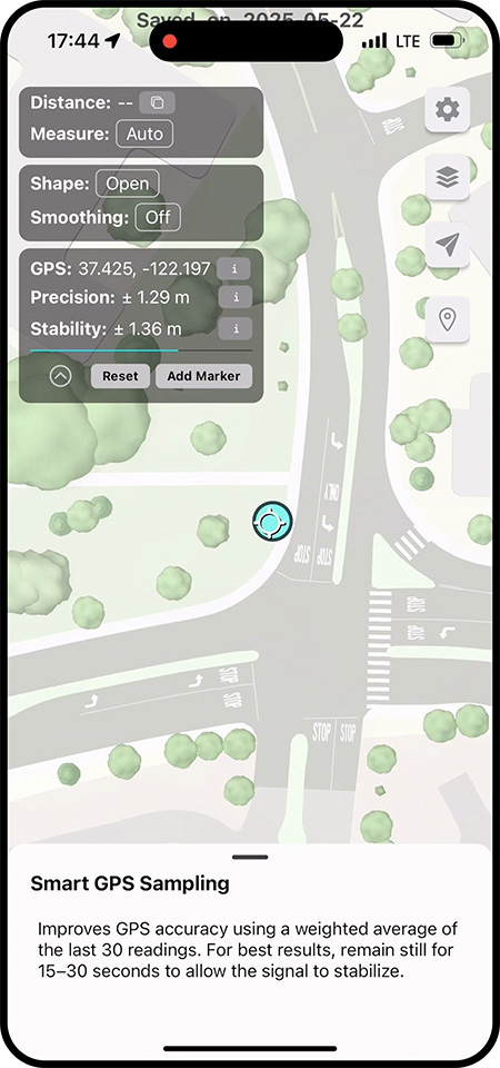
Use Smart GPS Sampling to place accurate markers. Sub-meter precision is possible in ideal conditions.
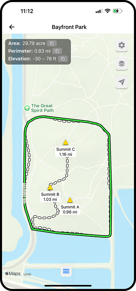
Walk the perimeter of a property or trail to automatically record GPS coordinates. Add custom notes and labels to any location on the map.
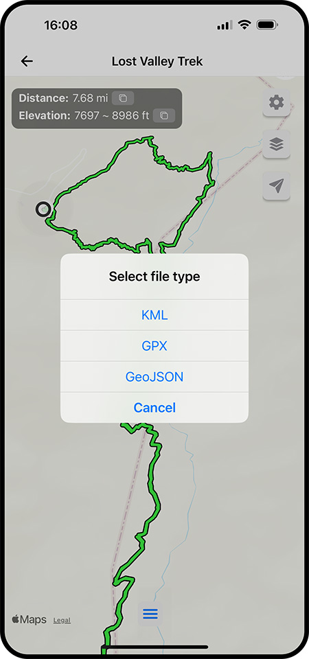
Import KML, GPX, or GeoJSON files. Export your data to GIS tools and other apps.